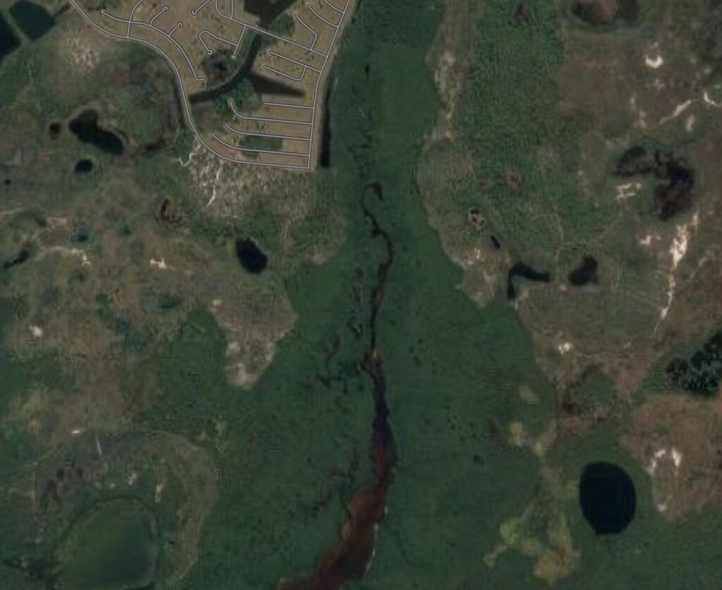
This image shows a natural tidal creek that is close to development but serves as nursery habitat for juvenile tarpon. Nursery habitats are at risk from nutrient runoff, contaminants from septic leaching, altered freshwater flows from diverted water, and total habitat loss from coastal development. A Vulnerability Index will show us which habitats are most at risk.
Knowing where juvenile tarpon live is only part of the challenge. We also have to assess the threats to their habitats. We know that coastal habitats and water quality are on the decline worldwide due to coastal development, nutrient runoff, septic leaching and contaminants entering our waterways. Many of these habitats are essential to sportfish populations because they serve as nurseries. Since 2016, Bonefish & Tarpon Trust has been working with anglers and guides as citizen scientists to identify nursery habitats and classify them as natural or degraded. Natural habitats are able to function as productive habitats for juveniles, so we need to prioritize them for protection. Degraded sites are in need of habitat restoration. But if we have a list of habitats, and not all locations can be protected or restored, how do we know where to start? By creating a Vulnerability Index (VI).
Our current focus is in Charlotte County, Florida, near the tarpon fishing capital of the world—Boca Grande. A Vulnerability Index uses GIS mapping data layers for nursery habitat sites overlaid with data on things like current and potential development locations, freshwater flows, and whether land is publicly or privately owned to categorize areas as High, Medium or Low vulnerability. For example, a nursery site classified as “natural” that falls under an area that the Charlotte County deemed as likely to be developed would rank as “High” in the VI. Conversely, a degraded nursery habitat with low potential for restoration that falls under an area in the county that is at low risk for development would rank as “Low” in the VI.
BTT is partnering on a grant proposal with Florida Fish and Wildlife Conservation Commission (FWC), Coastal and Heartland National Estuary Partnership (CHNEP), and Charlotte County through NOAA’s Actionable Science Program that would fund collection of data layers needed to construct the Vulnerable Index and package it in a way that can be used by Charlotte County’s land use planning department. Once this VI is in place, we plan to expand to other regions in the state where sportfish nursery habitat is at risk.


